

 (CBSDFW.COM) – An historic winter storm for North Texas is this weekend. It will have extraordinary impact on travel for Valentine’s Day, Presidents’ Day, and most of next week.
Just consider the following as you start to plan how you’ll handle the Great Valentine’s Storm of 2021:
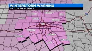
The WINTER STORM WARNING issued for all of North Texas starts now and goes on for THREE MORE DAYS.
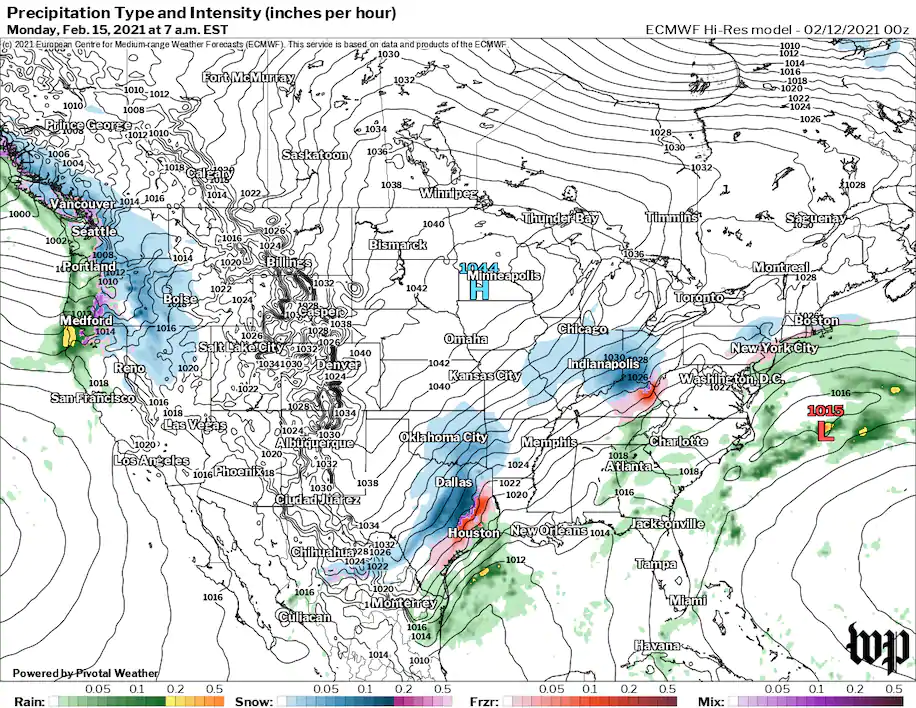
Freezing rain/sleet is expected leading up to the Sunday night snow
We are expecting the biggest snow inside the Metroplex in FIVE YEARS
By Monday morning it’ll be as cold as it has been here in 32 YEARS.
ANOTHER snow event could occur on Wednesday
The Metro area could see anywhere between 2 to 4 inches of snow with the Valentine’s Night storm, higher amounts are expected just north and south. This snow event is expected to continue into Monday morning.
Not only are we expecting the biggest snow in years in that time period, there could be a layer of ice under this snow along with WIND CHILLS NEAR ZERO and low visibility from BLOWING SNOW.
The temperatures at DFW slipped below freezing last Tuesday night at 8 p.m.. They have not been above zero since then. They are expected to stay below zero all the way until next Thursday. This could end up being the second longest stretch of below freezing days on record at DFW (the record is 295 consecutive hours back in December of 1983).
We are expecting on Sunday the coldest Valentine’s Day on record. The high will only reach into the mid 20s. The day will start with rain/freezing rain and end with heavy, blowing snow by later that night.
YOU SHOULD BE ABLE TO TRAVEL (WITH CARE) SATURDAY. We are expecting LIGHT amounts of freezing rain. Remember what we learned from the horrific 133-vehicle pileup in Fort Worth on Wednesday.
So be careful Saturday. Heavier amounts of freezing rain are expected Saturday night into Sunday morning. The heavy snow arrives Sunday night and goes on until Monday morning.
We are expecting another snow event on Wednesday. The roads will have little chance to improve with the below-freezing temperatures between Monday and Wednesday’s expected snow. This will prolong the travel problems all the way until Friday when afternoon temperatures will reach into the 40s and clear away any ice/snow still on the roadways.
Please stay posted with the latest weather information with the CBS 11 weather app and CBSDFW.COM. Snow amount forecasts are notoriously tricky and will be updated several times as we approach Sunday night
0 Comments